
Potatoe topographic map
Interactive map
Click on the map to display elevation.
About this map
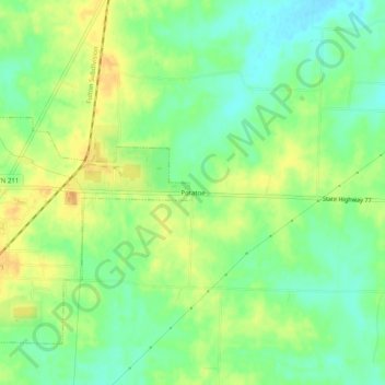
Name: Potatoe topographic map, elevation, terrain.
Location: Potatoe, Dyer County, Tennessee, 38059, USA (36.10090 -89.25507 36.14090 -89.21507)
Average elevation: 344 ft
Minimum elevation: 295 ft
Maximum elevation: 394 ft