
Susticacán topographic map
Interactive map
Click on the map to display elevation.
About this map
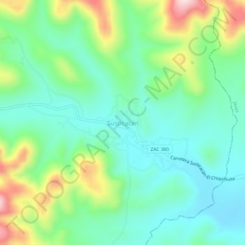
Name: Susticacán topographic map, elevation, terrain.
Location: Susticacán, Zacatecas, México (22.59145 -103.11936 22.63145 -103.07936)
Average elevation: 6,900 ft
Minimum elevation: 6,565 ft
Maximum elevation: 7,690 ft