
Lily topographic map
Interactive map
Click on the map to display elevation.
About this map
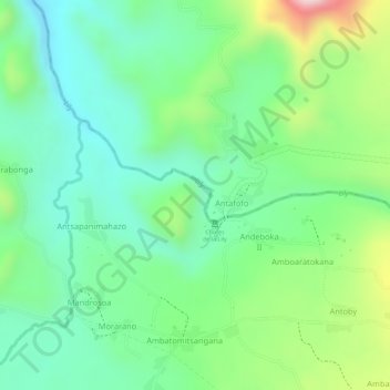
Name: Lily topographic map, elevation, terrain.
Location: Lily, Ampefy, Itasy, Province d’Antananarivo, Madagascar (-19.03142 46.68092 -19.02784 46.68457)
Average elevation: 3,868 ft
Minimum elevation: 3,540 ft
Maximum elevation: 4,508 ft
Other topographic maps
Click on a map to view its topography, its elevation and its terrain.
Ampefy
Madagascar > Itasy > Ampefy
Ampefy, Itasy, Province d’Antananarivo, Madagascar
Average elevation: 4,242 ft