
海口镇 topographic map
Interactive map
Click on the map to display elevation.
About this map
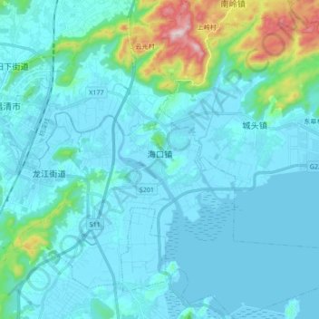
Name: 海口镇 topographic map, elevation, terrain.
Location: 海口镇, 福清市, 福州市, 福建省, 350313, 中国 (25.62125 119.38582 25.77397 119.55430)
Average elevation: 220 ft
Minimum elevation: -30 ft
Maximum elevation: 1,795 ft
Other topographic maps
Click on a map to view its topography, its elevation and its terrain.