
柘林镇 topographic map
Interactive map
Click on the map to display elevation.
About this map
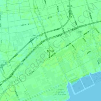
Name: 柘林镇 topographic map, elevation, terrain.
Location: 柘林镇, 奉贤区, 上海市, 201507, 中国 (30.79231 121.42903 30.87231 121.50903)
Average elevation: 16 ft
Minimum elevation: 0 ft
Maximum elevation: 26 ft
Other topographic maps
Click on a map to view its topography, its elevation and its terrain.