
小南溪 topographic map
Interactive map
Click on the map to display elevation.
About this map
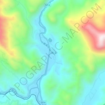
Name: 小南溪 topographic map, elevation, terrain.
Location: 小南溪, 河口瑶族自治县, 红河哈尼族彝族自治州, 云南省, 中国 (22.63660 103.92200 22.67660 103.96200)
Average elevation: 1,109 ft
Minimum elevation: 328 ft
Maximum elevation: 3,025 ft
Other topographic maps
Click on a map to view its topography, its elevation and its terrain.