
Art topographic map
Interactive map
Click on the map to display elevation.
About this map
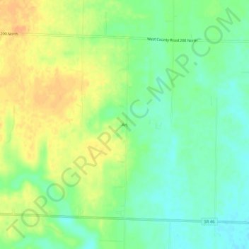
Name: Art topographic map, elevation, terrain.
Location: Art, Clay County, Indiana, 47846, USA (39.38282 -87.17529 39.42282 -87.13529)
Average elevation: 607 ft
Minimum elevation: 551 ft
Maximum elevation: 666 ft