
丹阳镇 topographic map
Interactive map
Click on the map to display elevation.
About this map
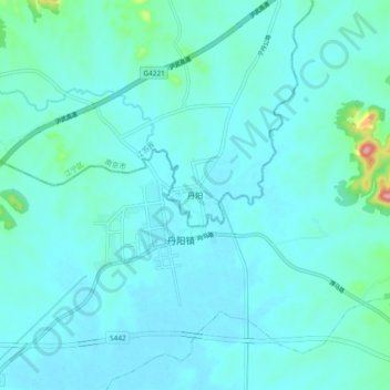
Name: 丹阳镇 topographic map, elevation, terrain.
Location: 丹阳镇, District de Jiangning, Nankin, Jiangsu, Chine (31.59598 118.67532 31.67598 118.75532)
Average elevation: 72 ft
Minimum elevation: 20 ft
Maximum elevation: 486 ft