
Shivpur topographic map
Interactive map
Click on the map to display elevation.
About this map
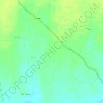
Name: Shivpur topographic map, elevation, terrain.
Location: Shivpur, Chandurbazar, Amravati, Maharashtra, India (21.20378 77.76290 21.21500 77.78402)
Average elevation: 1,194 ft
Minimum elevation: 1,161 ft
Maximum elevation: 1,224 ft
Other topographic maps
Click on a map to view its topography, its elevation and its terrain.
Boraj
India > Maharashtra > Chandurbazar
Boraj, Chandurbazar, Amravati, Maharashtra, India
Average elevation: 1,253 ft