Geolocate

Bushra topographic map

Click on the map to display elevation.

About this map

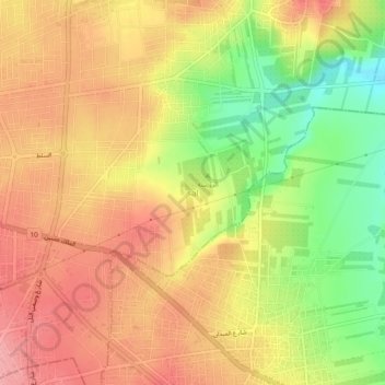
Name: Bushra topographic map, elevation, terrain.

Location: Bushra, حوارة, Irbid Qasabah District, Irbid, 21141, Jordan (32.52819 35.87814 32.56819 35.91814)

Average elevation: 1,778 ft

Minimum elevation: 1,565 ft

Maximum elevation: 1,923 ft

Gear up for your next adventure:

🪶LED Camping Lantern - Bright lantern for camp lighting
🧭Hiking Compass - Precision compass for reliable navigation in the wilderness
🚪Portable Camp Chair - Foldable chair for comfort at camp
🪑Ultralight Camp Chairs - Portable seating for resting after a long day of mapping
🧦Hiking Socks - Comfortable socks to prevent blisters on long hikes

As an Amazon Associate, this site earns from qualifying purchases at no extra cost to you.