
Abadía topographic map
Interactive map
Click on the map to display elevation.
About this map
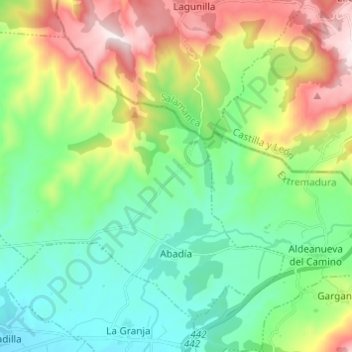
Name: Abadía topographic map, elevation, terrain.
Location: Abadía, Cáceres, Estrémadure, 10748, Espagne (40.24149 -6.06238 40.31839 -5.94067)
Average elevation: 2,001 ft
Minimum elevation: 1,273 ft
Maximum elevation: 3,556 ft