
Barrage de Tichy Haf (Tensaout) topographic map
Interactive map
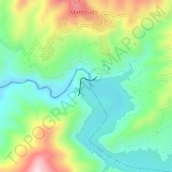
Click on the map to display elevation.
About this map
Name: Barrage de Tichy Haf (Tensaout) topographic map, elevation, terrain.
Average elevation: 1,247 ft
Minimum elevation: 771 ft
Maximum elevation: 2,172 ft