
Monte Nero topographic map
Interactive map
Click on the map to display elevation.
About this map
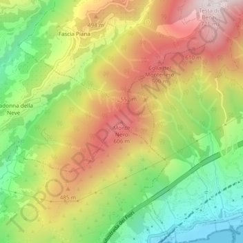
Name: Monte Nero topographic map, elevation, terrain.
Location: Monte Nero, Vallebona, Imperia, LIG, 18014, Italia (43.81232 7.69417 43.81242 7.69427)
Average elevation: 1,119 ft
Minimum elevation: -7 ft
Maximum elevation: 2,306 ft