
Wellman topographic map
Interactive map
Click on the map to display elevation.
About this map
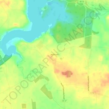
Name: Wellman topographic map, elevation, terrain.
Location: Wellman, Warren County, Ohio, 45032, USA (39.46256 -84.05243 39.50256 -84.01243)
Average elevation: 912 ft
Minimum elevation: 840 ft
Maximum elevation: 978 ft