
West Lulworth topographic map
Interactive map
Click on the map to display elevation.
About this map
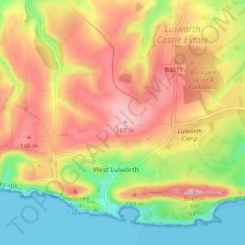
Name: West Lulworth topographic map, elevation, terrain.
Location: West Lulworth, Dorset, England, United Kingdom (50.61597 -2.28500 50.65250 -2.21664)
Average elevation: 276 ft
Minimum elevation: 0 ft
Maximum elevation: 538 ft
Other topographic maps
Click on a map to view its topography, its elevation and its terrain.
Dorchester
United Kingdom > England > Dorset
Dorchester, Dorset, England, United Kingdom
Average elevation: 236 ft