
Lac Eyre topographic map
Interactive map
Click on the map to display elevation.
About this map
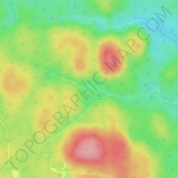
Name: Lac Eyre topographic map, elevation, terrain.
Location: Lac Eyre, Lac-Nilgaut, Pontiac, Outaouais, Québec, Canada (46.16541 -76.44554 46.16701 -76.44146)
Average elevation: 1,086 ft
Minimum elevation: 886 ft
Maximum elevation: 1,319 ft