
乐山西坝镇桫椤大峡谷 topographic map
Interactive map
Click on the map to display elevation.
About this map
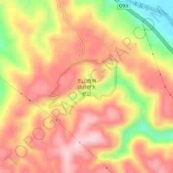
Name: 乐山西坝镇桫椤大峡谷 topographic map, elevation, terrain.
Location: 乐山西坝镇桫椤大峡谷, 成渝环线高速, 桥沟, 西坝镇, 五通桥区, 乐山市, 四川省, 中国 (29.34411 103.78387 29.35309 103.79620)
Average elevation: 1,621 ft
Minimum elevation: 1,096 ft
Maximum elevation: 1,942 ft