
Pichincha topographic map
Interactive map
Click on the map to display elevation.
About this map
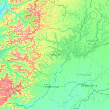
Name: Pichincha topographic map, elevation, terrain.
Location: Pichincha, Manabí, Ecuador (-1.15575 -80.04246 -0.63354 -79.67155)
Average elevation: 453 ft
Minimum elevation: 43 ft
Maximum elevation: 1,841 ft
Other topographic maps
Click on a map to view its topography, its elevation and its terrain.