
Katastralgemeinde Pottendorf topographic map
Interactive map
Click on the map to display elevation.
About this map
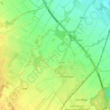
Name: Katastralgemeinde Pottendorf topographic map, elevation, terrain.
Average elevation: 705 ft
Minimum elevation: 663 ft
Maximum elevation: 751 ft
Other topographic maps
Click on a map to view its topography, its elevation and its terrain.
Siegersdorf
Österreich > Niederösterreich > Bezirk Baden > Gemeinde Pottendorf
Siegersdorf, Katastralgemeinde Siegersdorf, Gemeinde Pottendorf, Bezirk Baden, Niederösterreich, 2486, Österreich
Average elevation: 738 ft