
River Great Ouse or Ely Ouse topographic map
Interactive map
Click on the map to display elevation.
About this map
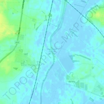
Name: River Great Ouse or Ely Ouse topographic map, elevation, terrain.
Average elevation: 13 ft
Minimum elevation: -13 ft
Maximum elevation: 49 ft