
Rileyville topographic map
Interactive map
Click on the map to display elevation.
About this map
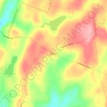
Name: Rileyville topographic map, elevation, terrain.
Location: Rileyville, Wayne County, Pennsylvania, USA (41.69573 -75.24908 41.73573 -75.20908)
Average elevation: 1,555 ft
Minimum elevation: 1,306 ft
Maximum elevation: 1,736 ft