
Havens topographic map
Interactive map
Click on the map to display elevation.
About this map
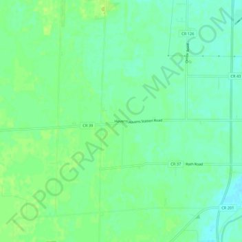
Name: Havens topographic map, elevation, terrain.
Location: Havens, Sandusky County, Ohio, USA (41.28589 -83.21270 41.32589 -83.17270)
Average elevation: 669 ft
Minimum elevation: 646 ft
Maximum elevation: 692 ft