
Żyrardów topographic map
Interactive map
Click on the map to display elevation.
About this map
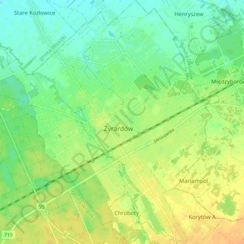
Name: Żyrardów topographic map, elevation, terrain.
Location: Żyrardów, powiat żyrardowski, Woiwodschaft Masowien, Polen (52.03047 20.40637 52.08063 20.47477)
Average elevation: 381 ft
Minimum elevation: 335 ft
Maximum elevation: 430 ft