
West Rand Garden estates topographic map
Interactive map
Click on the map to display elevation.
About this map
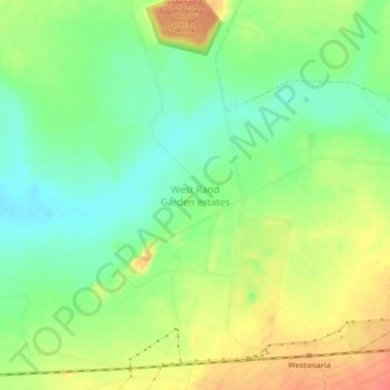
Name: West Rand Garden estates topographic map, elevation, terrain.
Average elevation: 5,131 ft
Minimum elevation: 5,056 ft
Maximum elevation: 5,223 ft