
Püssi linn topographic map
Interactive map
Click on the map to display elevation.
About this map
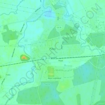
Name: Püssi linn topographic map, elevation, terrain.
Location: Püssi linn, Lüganuse vald, Kreis Ost-Wierland, Estland (59.35240 27.02494 59.36756 27.06519)
Average elevation: 144 ft
Minimum elevation: 115 ft
Maximum elevation: 213 ft