
Salcia Tudor topographic map
Interactive map
Click on the map to display elevation.
About this map
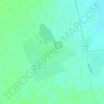
Name: Salcia Tudor topographic map, elevation, terrain.
Location: Salcia Tudor, Brăila, 817125, Romania (45.35188 27.47686 45.39188 27.51686)
Average elevation: 66 ft
Minimum elevation: 49 ft
Maximum elevation: 82 ft