
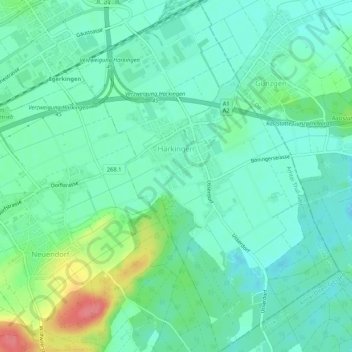
Härkingen topographic map
Interactive map
Click on the map to display elevation.
About this map
Name: Härkingen topographic map, elevation, terrain.
Location: Härkingen, Bezirk Gäu, Amtei Thal-Gäu, Solothurn, Switzerland (47.28616 7.80106 47.32208 7.84057)
Average elevation: 1,437 ft
Minimum elevation: 1,368 ft
Maximum elevation: 1,624 ft
Other topographic maps
Click on a map to view its topography, its elevation and its terrain.
Oensingen
Switzerland > Solothurn > Amtei Thal-Gäu > Oensingen
Oensingen, Bezirk Gäu, Amtei Thal-Gäu, Solothurn, 4702, Switzerland
Average elevation: 1,831 ft