
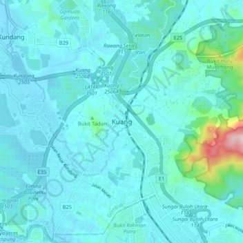
Kuang topographic map
Interactive map
Click on the map to display elevation.
About this map
Name: Kuang topographic map, elevation, terrain.
Location: Kuang, Selangor, 48050, Malaysia (3.21543 101.51318 3.29543 101.59318)
Average elevation: 233 ft
Minimum elevation: 62 ft
Maximum elevation: 1,654 ft