
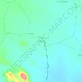
Revally topographic map
Interactive map
Click on the map to display elevation.
About this map
Name: Revally topographic map, elevation, terrain.
Average elevation: 1,558 ft
Minimum elevation: 1,444 ft
Maximum elevation: 2,136 ft
Other topographic maps
Click on a map to view its topography, its elevation and its terrain.
Ananthapuram
India > Telangana > Revally mandal
Ananthapuram, Revally mandal, Wanaparthy District, Telangana, India
Average elevation: 1,375 ft