
Variz topographic map
Interactive map
Click on the map to display elevation.
About this map
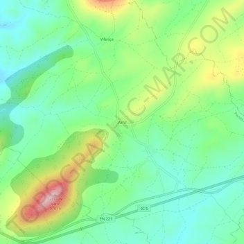
Name: Variz topographic map, elevation, terrain.
Location: Variz, Penas Roias, Mogadouro, Distrito de Bragança, Portugal (41.34451 -6.62761 41.38451 -6.58761)
Average elevation: 2,618 ft
Minimum elevation: 2,362 ft
Maximum elevation: 3,123 ft