
Owl Canyon topographic map
Interactive map
Click on the map to display elevation.
About this map
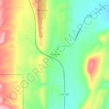
Name: Owl Canyon topographic map, elevation, terrain.
Location: Owl Canyon, Larimer County, Colorado, USA (40.74248 -105.19554 40.78248 -105.15554)
Average elevation: 5,843 ft
Minimum elevation: 5,479 ft
Maximum elevation: 6,348 ft