
Zorra topographic map
Interactive map
Click on the map to display elevation.
About this map
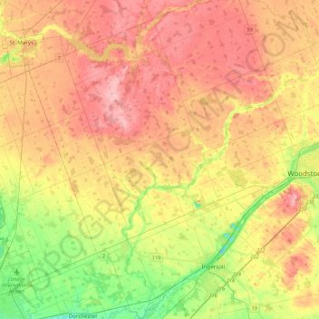
Name: Zorra topographic map, elevation, terrain.
Location: Zorra, Oxford County, Southwestern Ontario, Ontario, Canada (42.98565 -81.13225 43.30087 -80.80569)
Average elevation: 1,043 ft
Minimum elevation: 794 ft
Maximum elevation: 1,273 ft