
Valdestillas topographic map
Interactive map
Click on the map to display elevation.
About this map
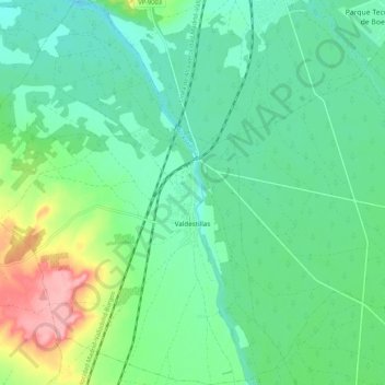
Name: Valdestillas topographic map, elevation, terrain.
Location: Valdestillas, Valladolid, Castile and León, 47240, Spain (41.44345 -4.83174 41.52320 -4.74573)
Average elevation: 2,326 ft
Minimum elevation: 2,224 ft
Maximum elevation: 2,598 ft