
Chatton topographic map
Interactive map
Click on the map to display elevation.
About this map
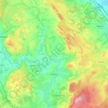
Name: Chatton topographic map, elevation, terrain.
Average elevation: 364 ft
Minimum elevation: 20 ft
Maximum elevation: 1,014 ft
Other topographic maps
Click on a map to view its topography, its elevation and its terrain.
Hepscott
United Kingdom > England > Northumberland
Hepscott, Northumberland, North of Tyne, England, NE61 6LT, United Kingdom
Average elevation: 157 ft