
Westbevern topographic map
Interactive map
Click on the map to display elevation.
About this map
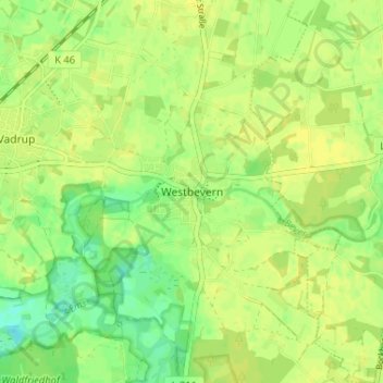
Name: Westbevern topographic map, elevation, terrain.
Average elevation: 174 ft
Minimum elevation: 138 ft
Maximum elevation: 187 ft
Other topographic maps
Click on a map to view its topography, its elevation and its terrain.
Vadrup
Deutschland > Nordrhein-Westfalen > Kreis Warendorf > Telgte
Vadrup, Telgte, Kreis Warendorf, Nordrhein-Westfalen, Deutschland
Average elevation: 167 ft