
Boqueron topographic map
Interactive map
Click on the map to display elevation.
About this map
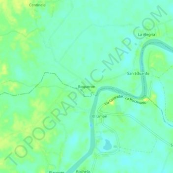
Name: Boqueron topographic map, elevation, terrain.
Location: Boqueron, San Jacinto, Colimes, Guayas, 091908, Ecuador (-1.65866 -80.04520 -1.61866 -80.00520)
Average elevation: 46 ft
Minimum elevation: 20 ft
Maximum elevation: 79 ft
Other topographic maps
Click on a map to view its topography, its elevation and its terrain.
Las Muras
Ecuador > Guayas > Colimes > San Jacinto
Las Muras, San Jacinto, Colimes, Guayas, Ecuador
Average elevation: 203 ft