
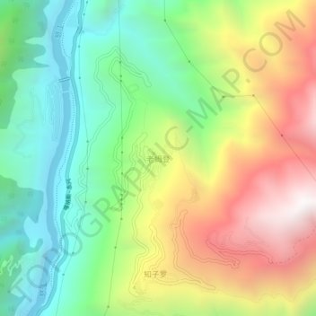
老姆登村 topographic map
Interactive map
Click on the map to display elevation.
About this map
Name: 老姆登村 topographic map, elevation, terrain.
Location: 老姆登村, 匹河怒族乡, 福贡县, 怒江傈僳族自治州, 云南省, 中国 (26.53734 98.89543 26.57734 98.93543)
Average elevation: 5,630 ft
Minimum elevation: 3,445 ft
Maximum elevation: 8,832 ft
Other topographic maps
Click on a map to view its topography, its elevation and its terrain.