
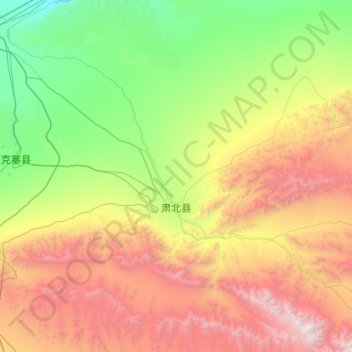
党城湾镇 topographic map
Interactive map
Click on the map to display elevation.
About this map
Name: 党城湾镇 topographic map, elevation, terrain.
Location: 党城湾镇, 肃北蒙古族自治县, 酒泉市, 甘肃省, 736300, 中国 (39.14897 94.55074 40.02386 95.69066)
Average elevation: 8,786 ft
Minimum elevation: 4,091 ft
Maximum elevation: 18,533 ft
Other topographic maps
Click on a map to view its topography, its elevation and its terrain.