
青海 topographic map
Interactive map
Click on the map to display elevation.
About this map
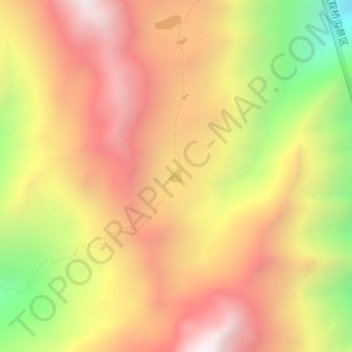
Name: 青海 topographic map, elevation, terrain.
Location: 青海, 小金县, 阿坝藏族羌族自治州, 四川省, 中国 (31.09933 102.74488 31.10040 102.74613)
Average elevation: 14,718 ft
Minimum elevation: 12,241 ft
Maximum elevation: 16,512 ft
Other topographic maps
Click on a map to view its topography, its elevation and its terrain.