
Nord (Holland) topographic map
Interactive map
Click on the map to display elevation.
About this map
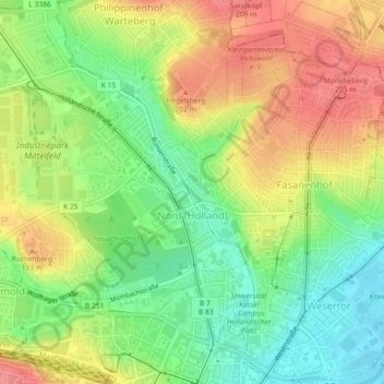
Name: Nord (Holland) topographic map, elevation, terrain.
Location: Nord (Holland), Kassel, Hesse, 34109, Germany (51.31805 9.47326 51.34631 9.50836)
Average elevation: 564 ft
Minimum elevation: 449 ft
Maximum elevation: 682 ft