
Legro topographic map
Interactive map
Click on the map to display elevation.
About this map
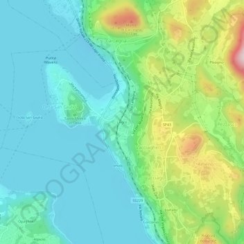
Name: Legro topographic map, elevation, terrain.
Location: Legro, Orta San Giulio, Novara, Piemonte, 28016, Itália (45.77556 8.40166 45.81556 8.44166)
Average elevation: 1,276 ft
Minimum elevation: 922 ft
Maximum elevation: 2,287 ft