
Metz topographic map
Click on the map to display elevation.
About this map
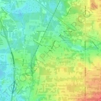
Name: Metz topographic map, elevation, terrain.
Location: Metz, Stow, Summit County, Ohio, 44224, United States (41.17533 -81.47872 41.21533 -81.43872)
Average elevation: 1,043 ft
Minimum elevation: 968 ft
Maximum elevation: 1,152 ft
Summit County trails, hiking, mountain biking, running and outdoor activities