
Mont Lang Biang belvédère topographic map
Interactive map
Click on the map to display elevation.
About this map
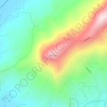
Name: Mont Lang Biang belvédère topographic map, elevation, terrain.
Average elevation: 5,315 ft
Minimum elevation: 4,675 ft
Maximum elevation: 6,381 ft