
Ngae topographic map
Interactive map
Click on the map to display elevation.
About this map
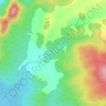
Name: Ngae topographic map, elevation, terrain.
Location: Ngae, Lale, Temotu, Solomon Islands (-11.62967 166.80820 -11.61229 166.82547)
Average elevation: 220 ft
Minimum elevation: 0 ft
Maximum elevation: 531 ft