Geolocate

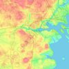
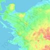
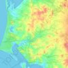
Kolding topographic map

Click on the map to display elevation.

About this map
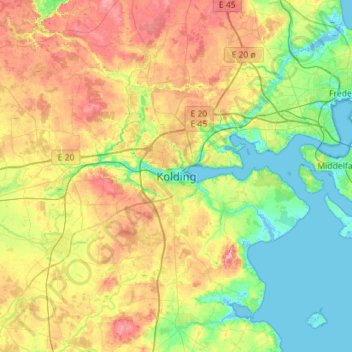
Name: Kolding topographic map, elevation, terrain.

Location: Kolding, Kolding Municipality, Region of Southern Denmark, 6000, Denmark (55.32950 9.31905 55.64950 9.63905)

Average elevation: 128 ft

Minimum elevation: -13 ft

Maximum elevation: 341 ft

Other topographic maps

Click on a map to view its topography, its elevation and its terrain.
Funen

Denmark > Region of Southern Denmark

Average elevation: 62 ft

Funen

Denmark > Region of Southern Denmark

Average elevation: 62 ft

Funen

Denmark > Region of Southern Denmark

Average elevation: 62 ft

Fanø

Denmark > Region of Southern Denmark > Sønderho

Average elevation: 3 ft

Funen

Denmark > Region of Southern Denmark

Average elevation: 62 ft

Rømø

Denmark > Region of Southern Denmark

Average elevation: 0 ft

Skarø

Denmark > Region of Southern Denmark

Average elevation: 0 ft

Guldbjerg

Denmark > Region of Southern Denmark

Average elevation: 75 ft

Egholm

Denmark > Region of Southern Denmark

Average elevation: 0 ft

Funen

Denmark > Region of Southern Denmark

Average elevation: 62 ft

Funen

Denmark > Region of Southern Denmark

Average elevation: 62 ft

Ærø

Denmark > Region of Southern Denmark

Average elevation: 10 ft

Gear up for your next adventure:

🪄Magnetic Compass - Accurate compass for navigation
📦Dry Bags Set - Waterproof storage for electronics and clothes
🌧️Backpack Rain Cover - Keep gear dry in wet weather
🔦Powerful Headlamps - Ultra-bright hands-free lighting for night navigation
🧯Emergency Survival Kit - All‑in‑one survival essentials for the backcountry

As an Amazon Associate, this site earns from qualifying purchases at no extra cost to you.