
Traduerivi topographic map
Interactive map
Click on the map to display elevation.
About this map
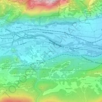
Name: Traduerivi topographic map, elevation, terrain.
Location: Traduerivi, Suse, Turin, Piémont, 10050, Italie (45.11083 7.07475 45.15083 7.11475)
Average elevation: 2,126 ft
Minimum elevation: 1,457 ft
Maximum elevation: 4,265 ft