

Dugway topographic map
Click on the map to display elevation.
About this map
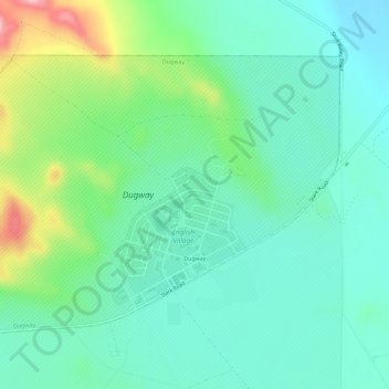
Name: Dugway topographic map, elevation, terrain.
Location: Dugway, Tooele County, Utah, 84022, United States (40.21291 -112.78080 40.24445 -112.72336)
Average elevation: 4,908 ft
Minimum elevation: 4,764 ft
Maximum elevation: 5,308 ft
Tooele County trails, hiking, mountain biking, running and outdoor activities
Other topographic maps
Click on a map to view its topography, its elevation and its terrain.

Ibapah
United States > Utah > Tooele County
The climate is typical of that of a high elevation Great Basin location, being semi-arid and featuring, in consequence, large differences in temperature between day and night.
Average elevation: 5,325 ft