
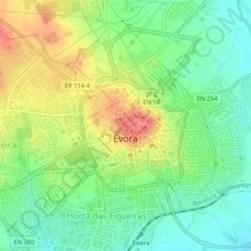
Évora topographic map
Interactive map
Click on the map to display elevation.
About this map
Name: Évora topographic map, elevation, terrain.
Location: Évora, Alentejo Central, Alentejo, Portugal (38.56623 -7.91548 38.57798 -7.90085)
Average elevation: 889 ft
Minimum elevation: 794 ft
Maximum elevation: 1,020 ft