
Araumajada topographic map
Interactive map
Click on the map to display elevation.
About this map
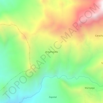
Name: Araumajada topographic map, elevation, terrain.
Location: Araumajada, Provincia de Lambayeque, Lambayeque, Perú (-6.15344 -79.55672 -6.11344 -79.51672)
Average elevation: 4,229 ft
Minimum elevation: 2,421 ft
Maximum elevation: 6,772 ft