
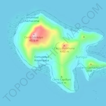
Municipio Puerto Pérez topographic map
Interactive map
Click on the map to display elevation.
About this map
Name: Municipio Puerto Pérez topographic map, elevation, terrain.
Location: Municipio Puerto Pérez, Provincia Los Andes, LPZ, Bolivia (-16.31655 -68.78083 -16.29181 -68.74672)
Average elevation: 12,592 ft
Minimum elevation: 12,497 ft
Maximum elevation: 13,376 ft